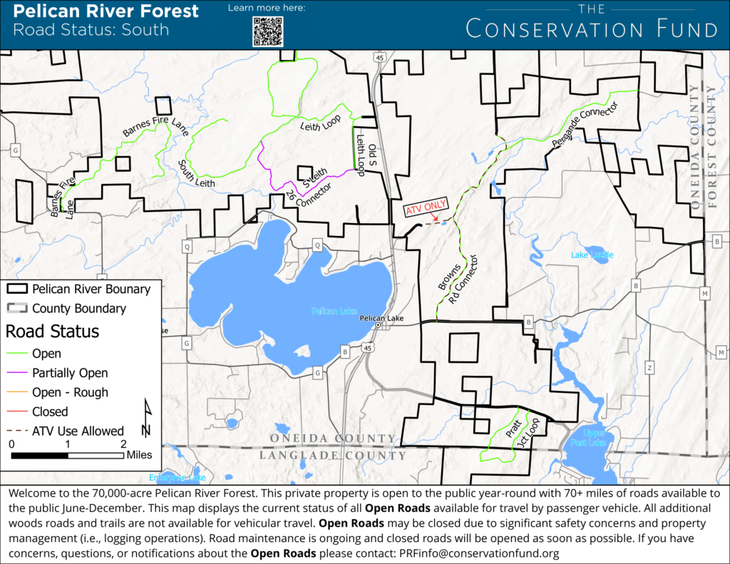
The Conservation Fund has released updated road access maps for the 70,000-acre Pelican River Forest in northern Wisconsin. These maps show which roads are currently open for public use as of August 2024.
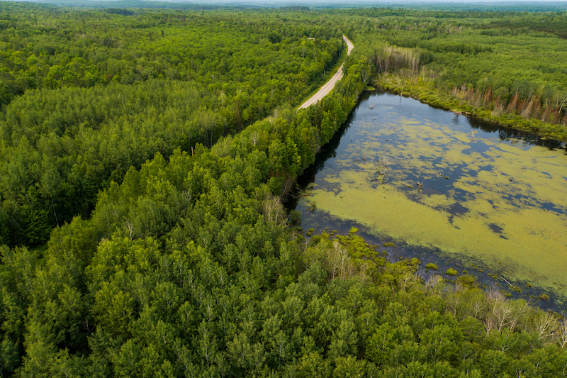
The Pelican River Forest project, completed in January 2024, preserves Wisconsin’s largest privately-owned forest block, spanning Oneida, Forest, and Langlade Counties. It supports local economies through sustainable forestry and recreation while protecting wildlife habitat and water quality, and also plays a crucial role in climate change mitigation by storing millions of tons of CO2.
In April 2023, Republican members of the Joint Finance Committee (JFC) voted against using $4 million in funding from the Knowles-Nelson Stewardship Program for the project, citing concerns about removing private land from tax rolls. Despite this setback, The Conservation Fund and Governor Tony Evers secured funding from the U.S Forest Service Forest Legacy Program to fund the state’s share, bypassing JFC involvement and saving the conservation effort. Additional support came from the National Fish and Wildlife Program via WalMart’s Acres for America Program, along with other private philanthropic donors.
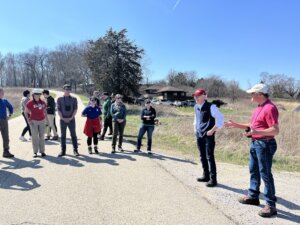
Visitors are reminded to respect posted signs and practice responsible forest use to preserve this valuable ecosystem for future generations.
Featured image by Jay Brittain/The Conservation Fund.