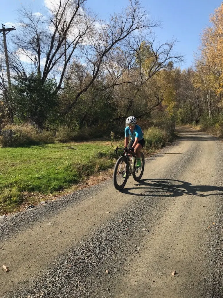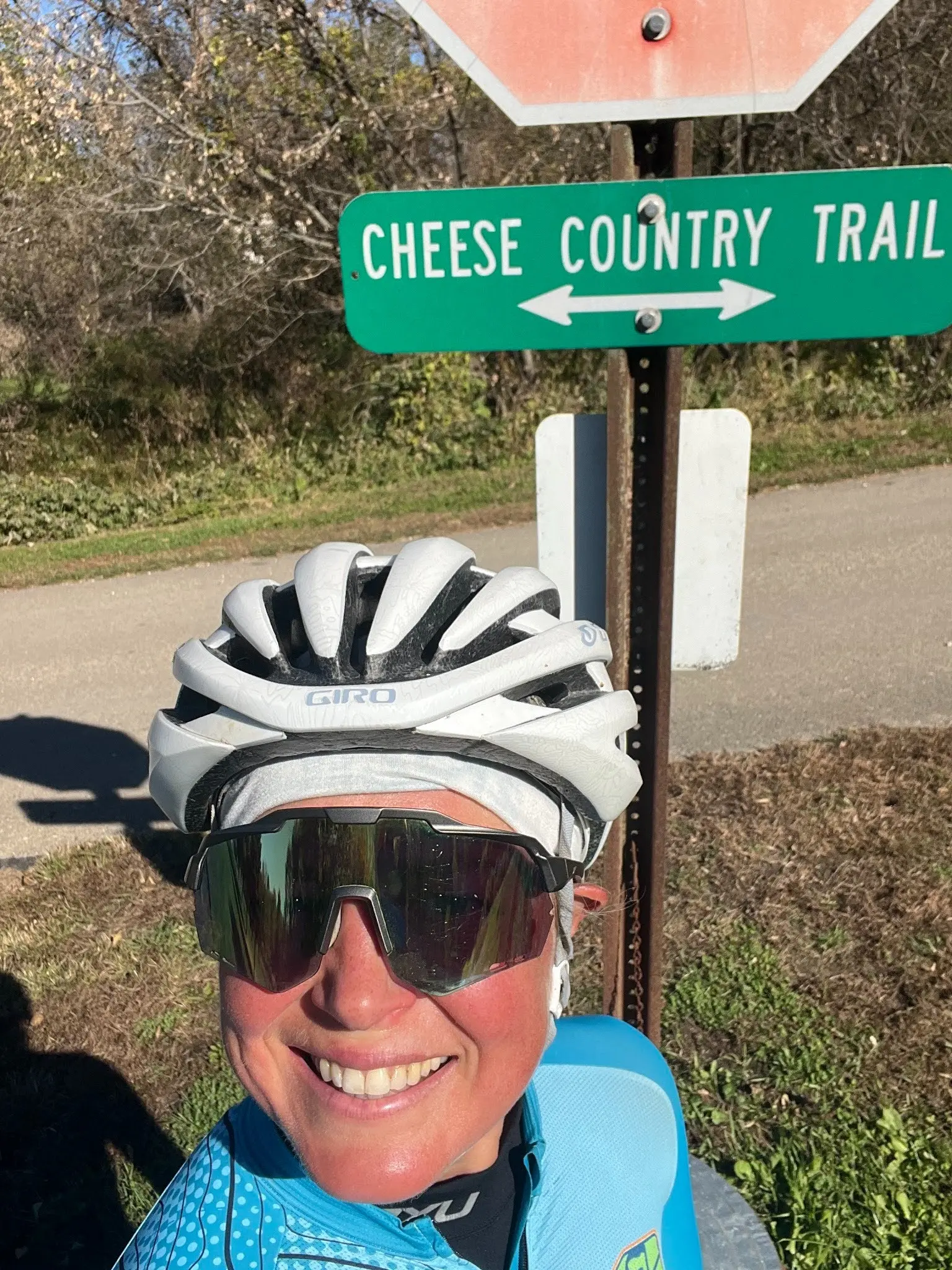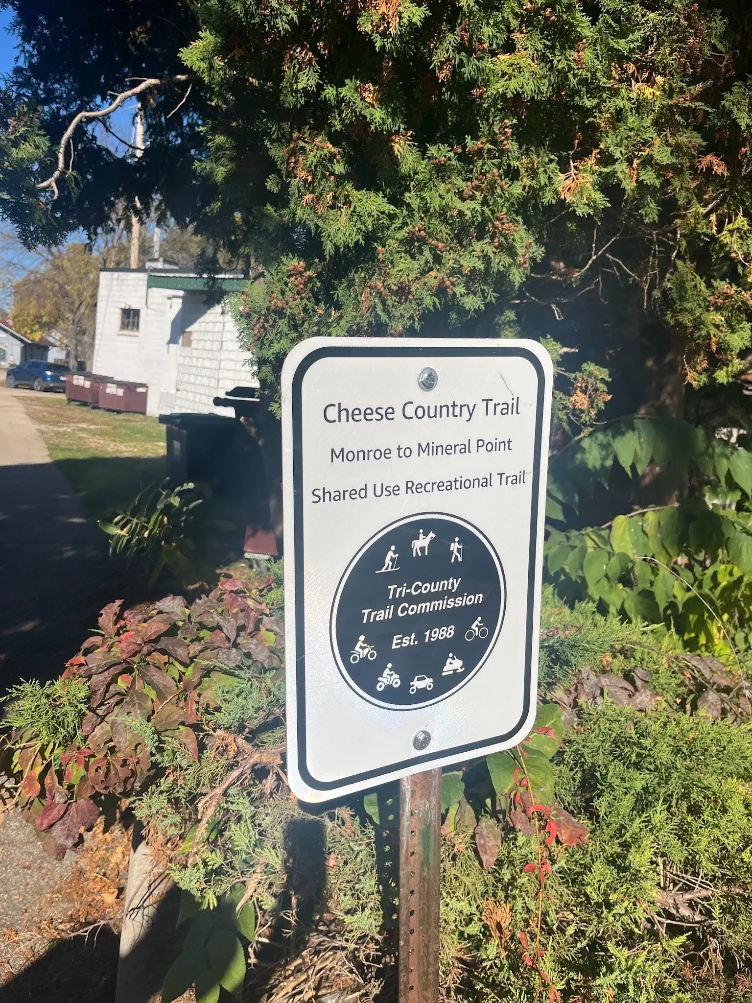
You guys! You simply must come ride the Cheese Country Trail! It is a multi-use trail running from the Badger State Trail in Monroe, WI to the Pecatonica State Trail in Calamine (it continues north to Mineral Point, which I will finish tomorrow). And despite being a multi-use trail, the surface is fantastic! Better than many non-motorized state trails and so fun! I would still recommend wider tires (at least 35-40 mm) for maximum enjoyment, but that is true for most of WI’s trail surfaces.
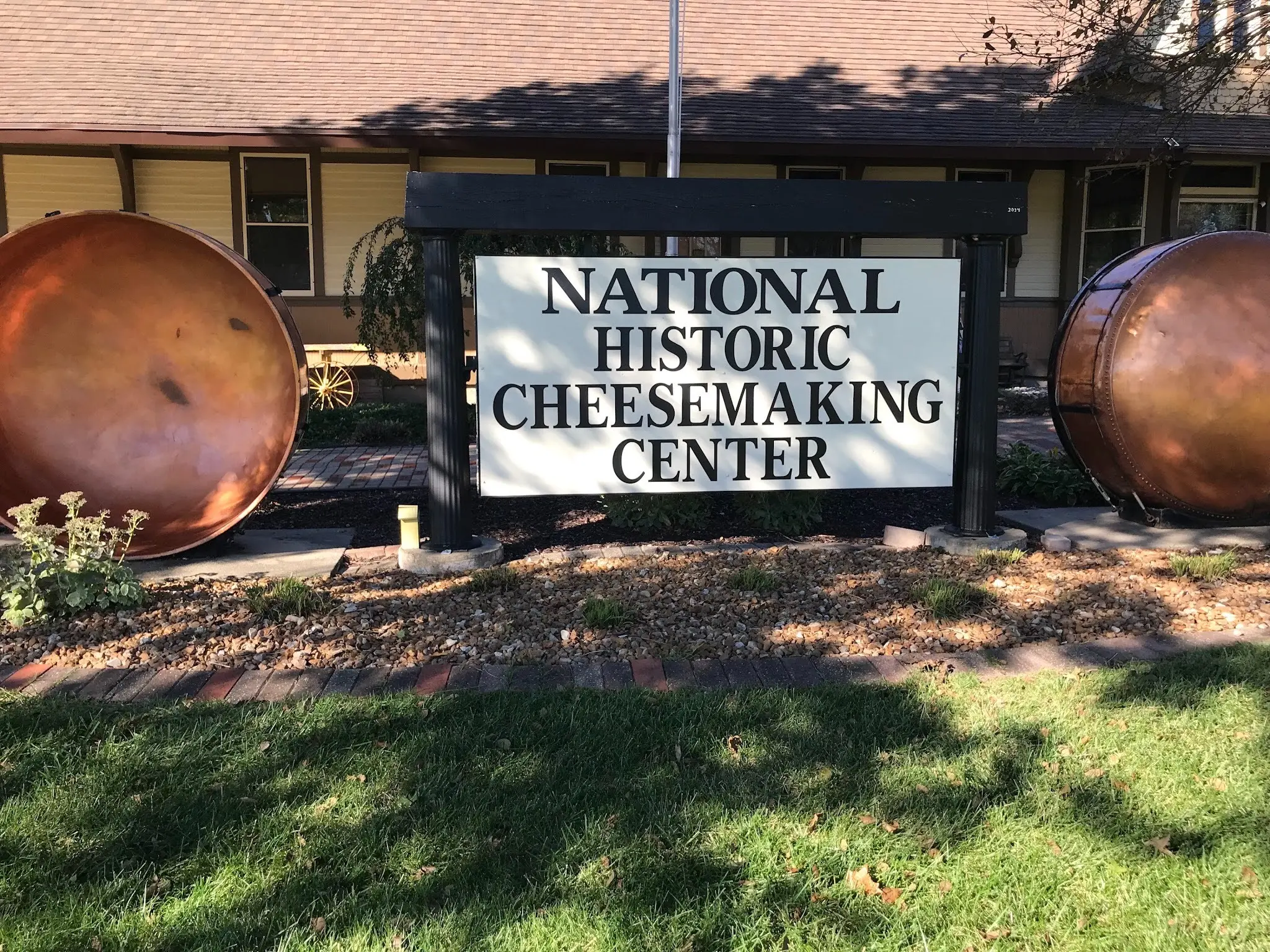
The trail is truly a tribute to the Dairy state – rolling past many farms and beginning in Monroe, which is known as the “Cheese Capital of the U.S.A.” This is due to the strong Cheesemaking heritage in Monroe, brought over from the largely Swiss immigrants that settled the region. Monroe now features Cheese Days and the National Historic Cheesemaking Center Museum. Even the Super 8 hotel we stayed in had a refrigerator full of different kinds of cheese for purchase, including an award-winning Swiss!
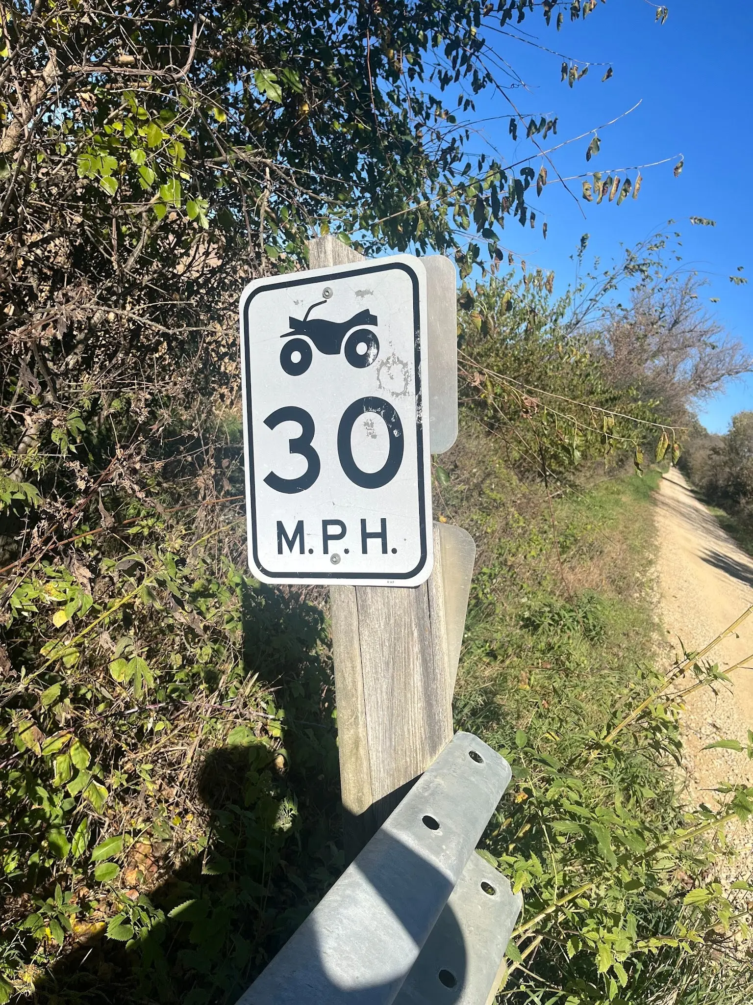
With the Cheese Country Trail being one of the longest multi-use (ATV/UTV) trails in Southern WI, I was concerned what I would find and had planned some road reroutes if necessary, but didn’t need them. I’m not sure exactly what makes this trail so rideable compared to the multi-use trails up north. My guess is potentially the 30 MPH speed limit implemented throughout the trail.
I think the DNR should investigate how this trail surface stays so nice and, if it’s the 30 MPH speed limit, consider implementing a 30 MPH speed limit on ALL State Multi-use Trails to keep them enjoyable for everyone. ATV-ers, I I know that sometimes you want to go fast, accelerate, decelerate, have big crushed gravel, go through sand pits, and otherwise go hog wild, and I don’t want to spoil your fun! But I know that there are LOTS of other dedicated ATV/UTV trails that have all those features all over (I’ve tried to ride some of them) and if it’s as easy as a speed limit to keep the trails more enjoyable for everyone, I think it would be worth it!
Also, there were two bridges out on the Cheese Country Trail, which could maybe be fixed with collaborative Knowles-Nelson dollars.
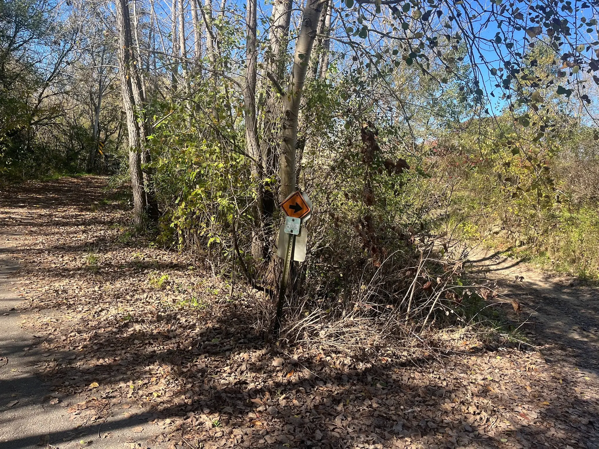
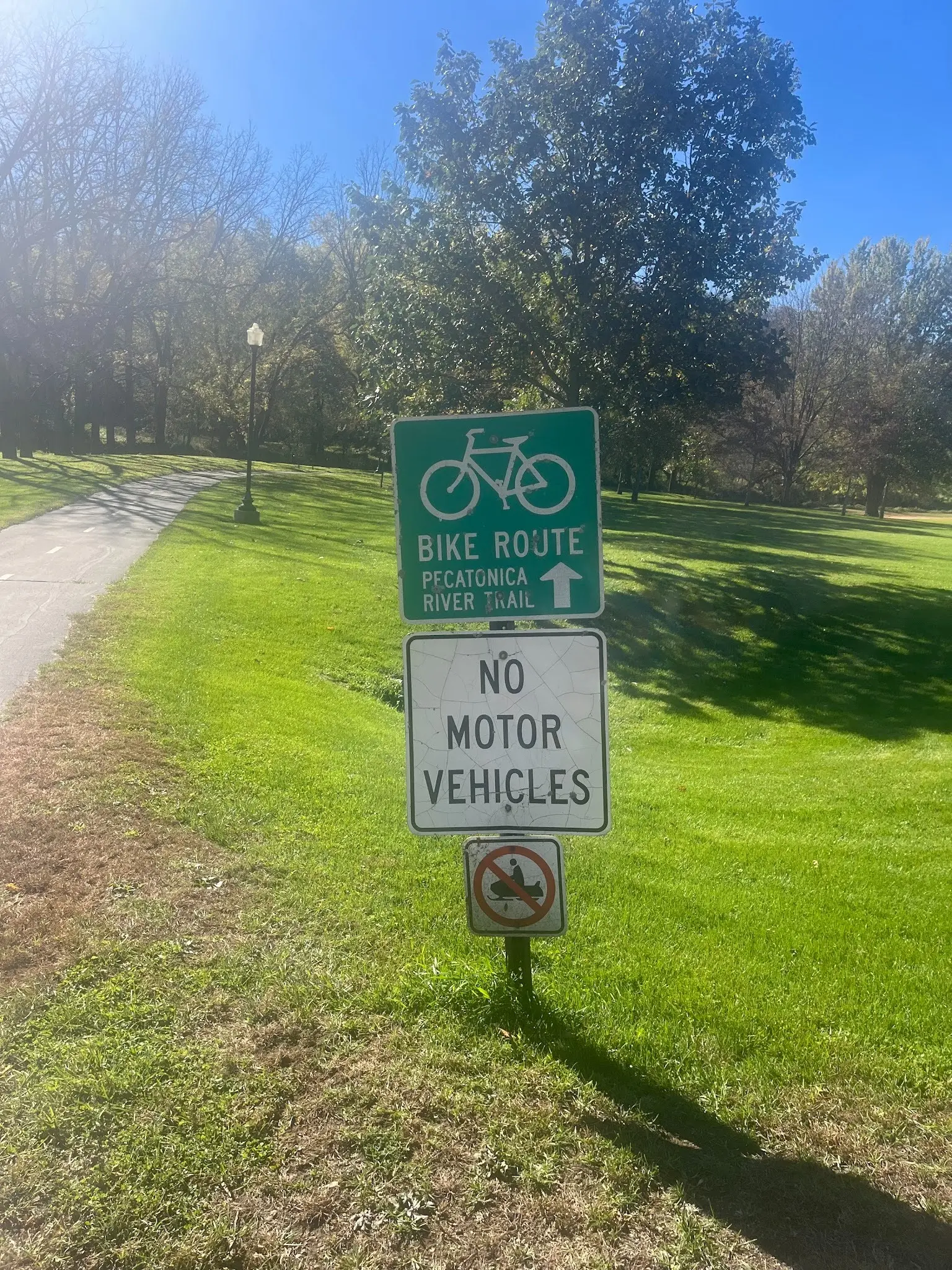
One of the closed sections on the Cheese Country trail implemented a solution that I think could add more trails in remote areas of WI without adding more pavement – dedicated bike roads. This trail detour was really just a farm road with signs, but I think permanently designating certain roads as bike roads, with normal “bike route” signs, but also signs designating the name of the “trail/route,” would help cyclists feel secure on the route and help let drivers know to expect cyclists. Safety and enjoyment is all about setting expectations.
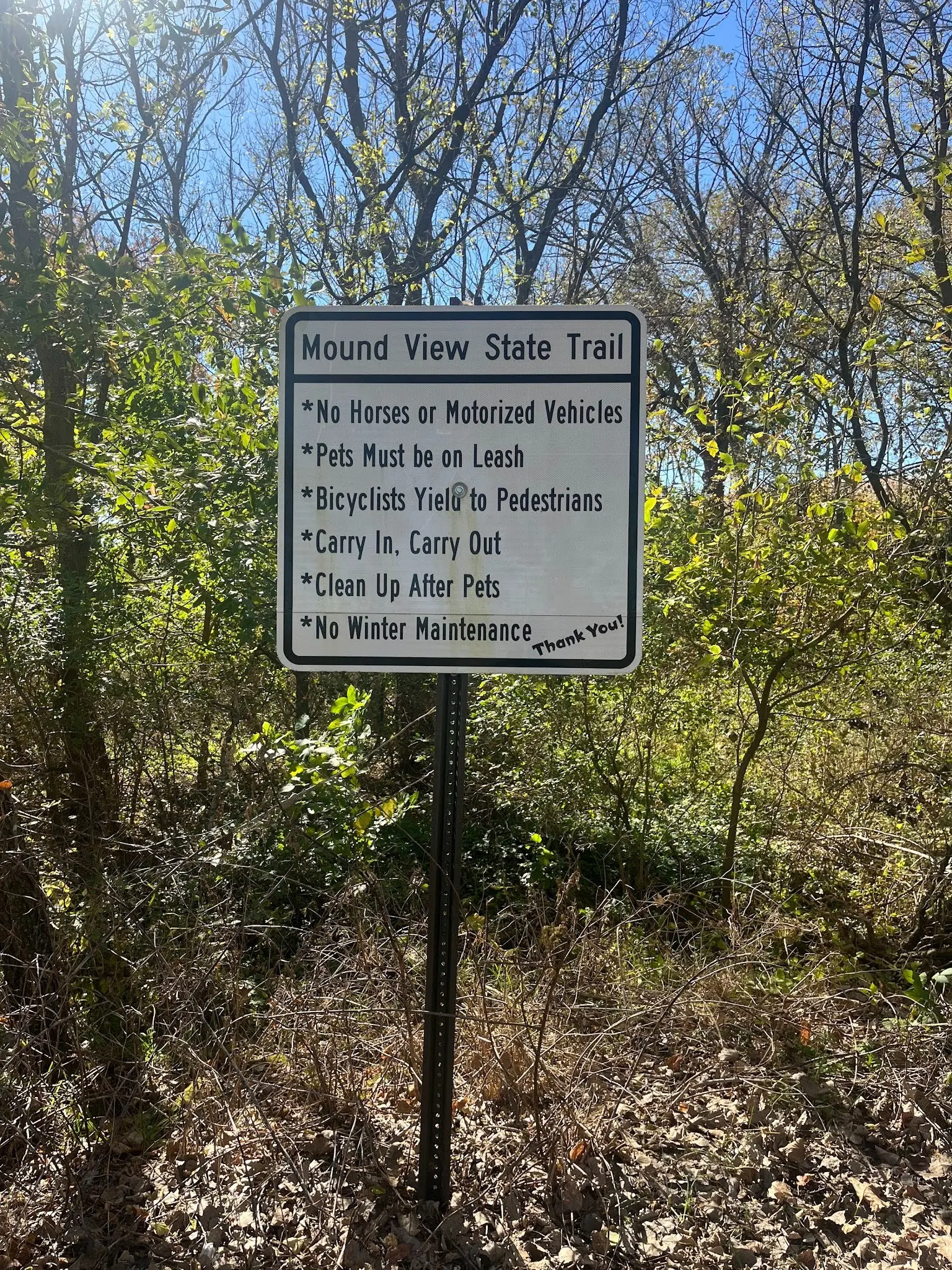
The final section of the trail today implemented another solution – dedicated ATV vs bike paths. Beginning in Belmont and extending all the way to Platteville and Platteville’s Roundtree Branch trail, the Mound View State Trail is a paved, non-motorized trail that parallels the multi-use Pecatonica State Trail. The Mound View trail provides a lovely, rolling, meandering, peaceful path for hikers, runners, bikers, and other “slower” sports to enjoy.
There is a similar (but shorter) bike-only Pecatonica Trail option in the town of Darlington.
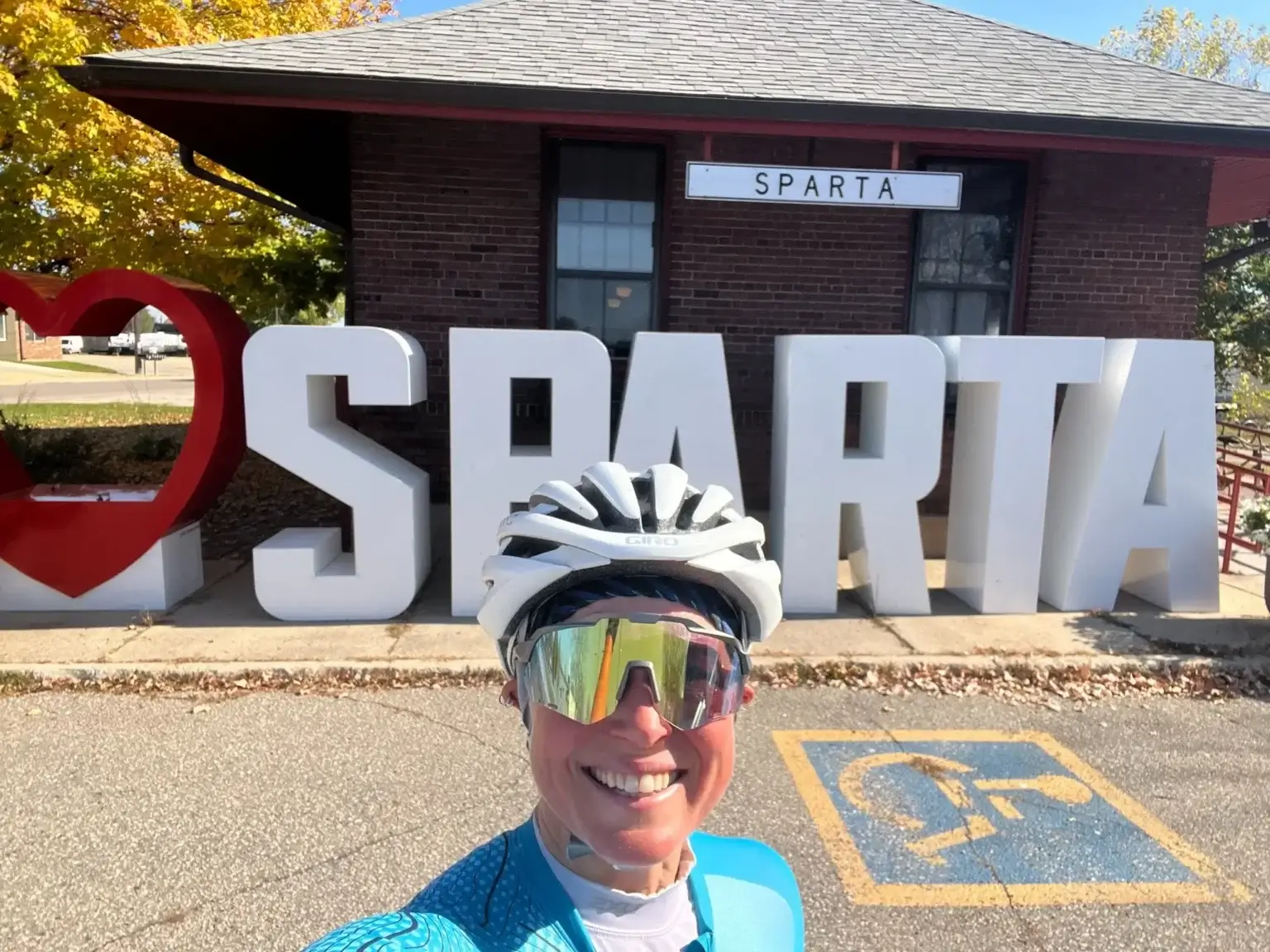
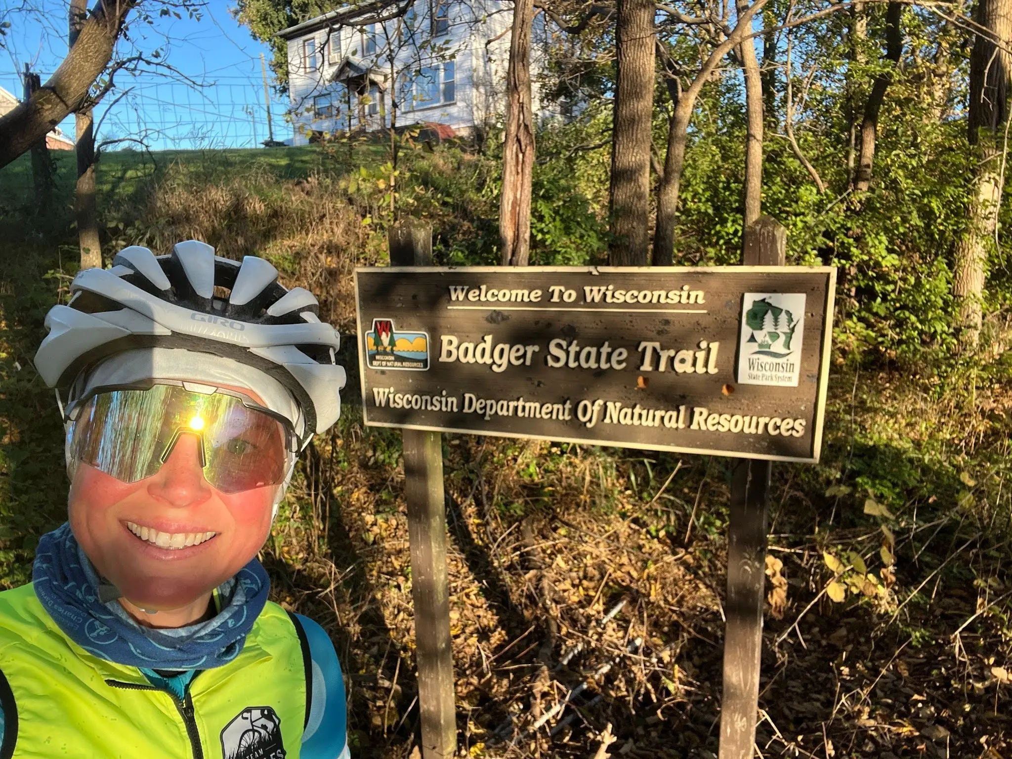
I can tell I’m getting near the end of my trip, since today I visited the fourth and last “edge” of WI. I started in the east on Day 2 on the Gandy Dancer Trail (even venturing into MN for a bit!), touched the north shore the next day in Superior*, the western edge in Algoma on Day 9 (among others), and – today – rode to the southern WI/IL border on the Badger State Trail!
It’s been a great trip so far – a joy every single day to be out riding my bike and exploring WI. A few more days of some of WI’s most iconic and well-known bike trails await and I can’t wait!
* Note – the Nicolet State Trail also continues all the way north to the WI/MI border, but I opted to skip the Northern segment on this trip due to the fact I was unsupported at that time and it was HARD multi-use trail riding. Maybe I’ll come back and finish it if/when the DNR implements one of my mixed-use trail suggestions that make them more enjoyable for cyclists!
– Sarah
Today at a glance
Day 18 | Monroe to Platteville
Mileage: 70
Community
Explore Nearby
Dunn County, WI | Managed by: Landmark Conservancy
Originally intended to be a nuclear power plant site, the Meridian Barrens were protected and made public through Knowles-Nelson funding. Visitors can now hike, fish, and hunt on the land.
Eau Claire, WI | Managed by: City of Eau Claire
Eau Claire's Pheonix Park boasts a walking labyrinth, an outdoor amphitheater, the Eau Claire Farmers Market, and the Chippewa River State Trail trailhead. Knowles-Nelson funds allowed for Phoenix Park’s development and expansion.
Chippewa County, WI | Managed by: WI DNR
Tom Lawin Wildlife Area is a 2,282-acre public hunting and wildlife preserve. It's also a birding hotspot, with visitors frequently spotting waterfowl, shorebirds, American bitterns, harriers, and short-eared owls. Knowles-Nelson funded land purchases for the preserve’s expansion.