- October 6, 2026
Every sunrise is different, and every day is a new day.
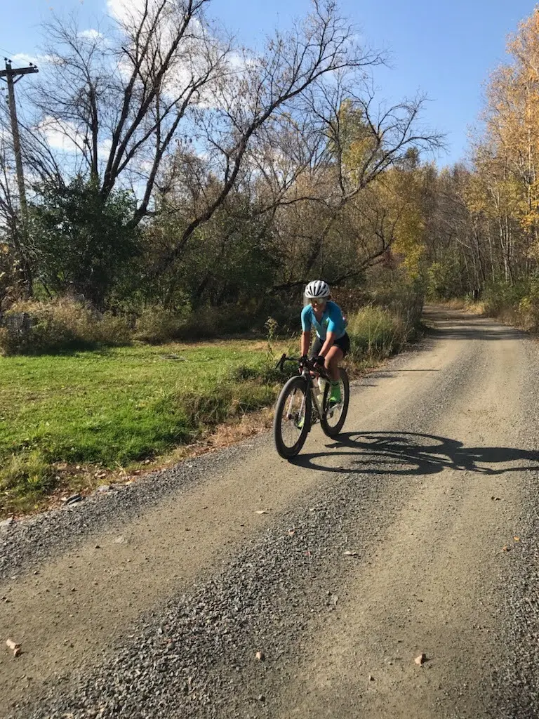
Today I decided to take it easy and ride as slowly as I wanted and just enjoy every moment of riding. And what a treat! Today’s ride started on the Bearskin State Trail, which is a smooth, gravel non-motorized trail that runs 21.5 miles from Minocqua to Tomahawk. The trail has a handy bike tool set up at the start, which I used to check my tire pressure.
The trail took me by scenic lakes, wooded forest land, and had informative signs along the way to tell you what you were looking at.
One notable property the trail passed by was the beautiful Yawkey Forest Reserve, a piece of land protected by Northwoods Land Trust. It’s NWLT’s largest property, covering over 450 acres and protecting more than 4 miles of shoreline on Lake Katherine. The land is a mix of second-growth sugar maple and oak forest, along with wetlands, three small undeveloped islands, and a peninsula called Tigertail Point that juts into the lake. The Yawkey Lumber Company and family donated 431 acres of the land in 2018, after 125 years of ownership, and the family continues to support improvements to the reserve today!
Since the reserve hugs much of Lake Katherine’s shoreline, it’s a popular spot for canoeing and kayaking. Visitors can also birdwatch, hike, and ski in the forest.
Not much farther down the trail is the South Blue Lake Bike Wayside which has lovely picnic tables, restrooms, and offers a nice place to take a quick break.
The trail spits you out on Branch Road where designated bike routes connect you to the remainder of the Bearskin State Trail and Hiawatha Trail, which are all part of the Northwoods Trail System. The trails featured countless covered bridges over the many lakes, rivers, and streams to be found up north – although the water seemed quite low in some of them! I hope they recover over the winter for next year and it doesn’t affect the lake ecology, surrounding wildlife, or local tourism too much.
The route through Tomahawk took me through the industrial district, where the Packaging Corporation of America still has a plant that makes corrugated cardboard sourced from the surrounding private, state, and county forest lands. I cut west through the country towards the Pine Line Trail, which begins just north of Ogema. The route is along a planned “connector” in Wisconsin’s Trail Network Plan, but it has not yet been developed. So I found myself on a mix of county highways and unpaved farm roads, which passed Timm’s Hill – a part of the Ice Age Trail and the highest point in Wisconsin! As I rode towards Medford on the Pine Line Trail (a non-state rail trail) I could tell we were getting farther south as the woodland of the north gave way to more and more developed farms.
Relaxing at the adorable Medford Inn, which advertises for Medford’s Community Bike Share program! What an amazing amenity for a small town!
Today’s support reminder is to buy a trail pass! When I was a cheap collage student, I didn’t always buy a trail pass when it was required because no one ever checked. Yes, it is the honor system, but these trail passes are a major source of funding for state trails and help make the bike maintenance stations and other facilities possible. Now that I’m older and wiser, I realize that an annual trail pass is a good investment in the state resources that are important to me, even if I don’t use it that often – it’s going to a good cause. So buy a state trail pass! And maybe a state park pass while you are at it! https://dnr.wisconsin.gov/topic/parks/admission/trailpass
– Sarah
Today at a glance
Day 6 | Minocqua to Medford
Mileage: 89
Trails Covered
Explore Nearby
Medford, WI | Managed by: City of Medford
Established in 1890, Medford City Park spans 100 acres along the Black River. The Knowles-Nelson Stewardship Program helped fund the park's Riverwalk, a paved path that follows the river past the millpond, with picnic and barbecue areas along the way.
Tomahawk, WI | Managed by: City of Tomahawk
Sara Park sits along the shores of Lake Mohawksin and the Wisconsin River. It's home to an activities center, a compact campground, and direct access to regional outdoor recreation. Knowles-Nelson funds were used to acquire land for the park and improve its infrastructure.